


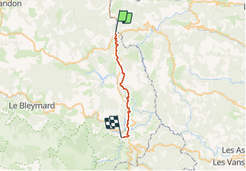

33 km | 46 km-effort

Utilisateur


Application GPS de randonnée GRATUITE
 SityTrail
IGN / Instituts géographiques
SityTrail World
Le monde est à vous
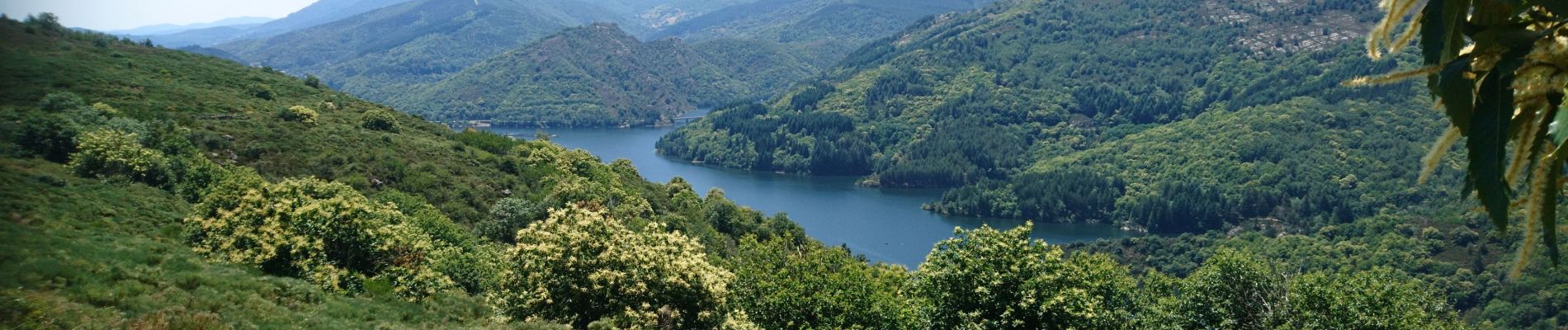
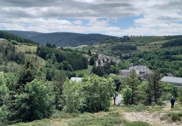
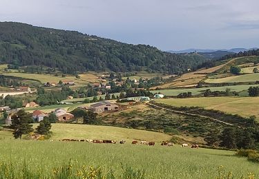
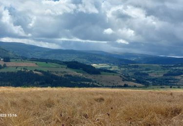
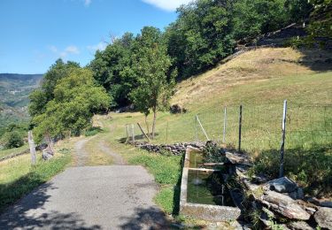
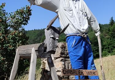
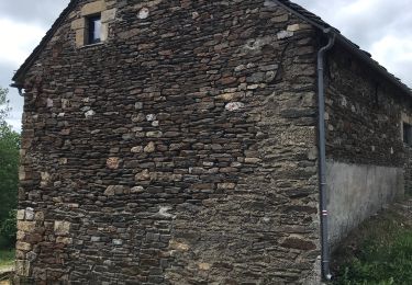
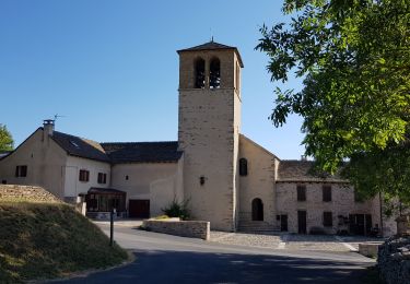
Randonnée Marche de 25 km à découvrir à Occitanie, Lozère, La Bastide-Puylaurent. Cette randonnée est proposée par BrassensJC.
Randonnée difficile suite à la tempête qui a rendue les sentiers impraticables
Temps de parcours incluant les arrêts.


Marche
Marche
Marche
Marche
Marche
Marche
Marche

Marche
Marche